From Miami’s pastel façades and the bridges of the Keys to the Everglades wetlands, white sand on Siesta Key and the springs of Crystal River. Orlando and the Space Coast complete a journey through Florida’s very different landscapes.
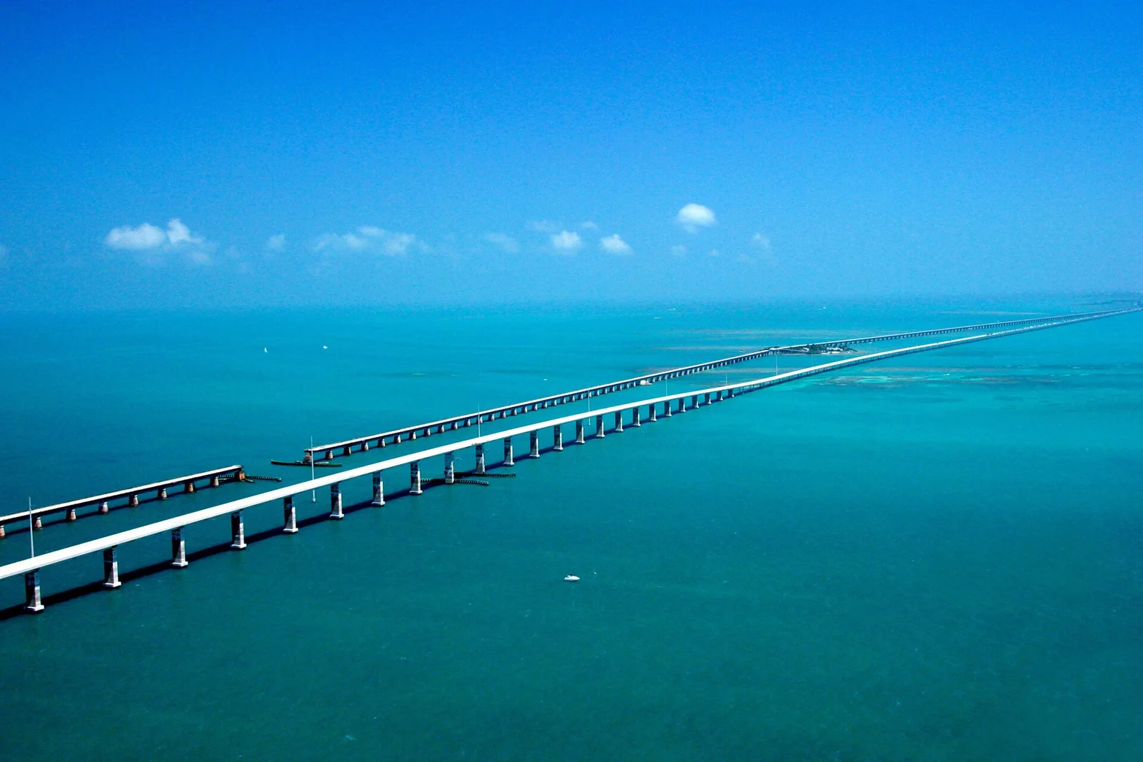
Seven Mile Bridge · United States Department of Transportation · Wikimedia Commons · Public domain
One loop, many sides of Florida
From Miami back to Miami.
The journey connects both coasts, the Keys and Central Florida. Key West is an out-and-back excursion from Miami, while Siesta Key gives the route its longer beach pause. Our final overnight stay is in Fort Lauderdale, with the return to Miami on the day of departure.
Miami → Key West → Miami → Everglades → Siesta Key → Crystal River → Orlando → Kennedy Space Center → Fort Lauderdale Beach → Miami
Discover each place
Select a point to read its story and see photographs.
Explore all places using the links below. The interactive map loads when available.
The dashed line shows the sequence of places, not a navigation route. The Keys section returns to Miami before continuing to Everglades.
01 / Atlantic coast • South Florida
Miami & Miami Beach
Ocean air, pastel façades and a meeting of cultures
Miami has several very different faces. Glass towers rise beside the bay, Cuban coffee scents the streets of Little Havana, and Wynwood turns building walls into an open-air gallery. People, languages and flavours from the Caribbean and Latin America give the city its character.
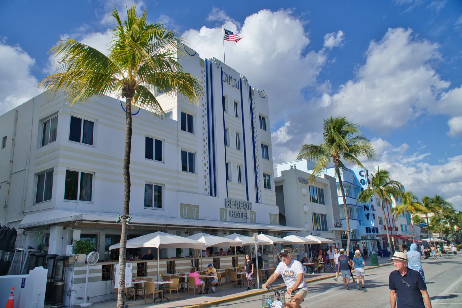
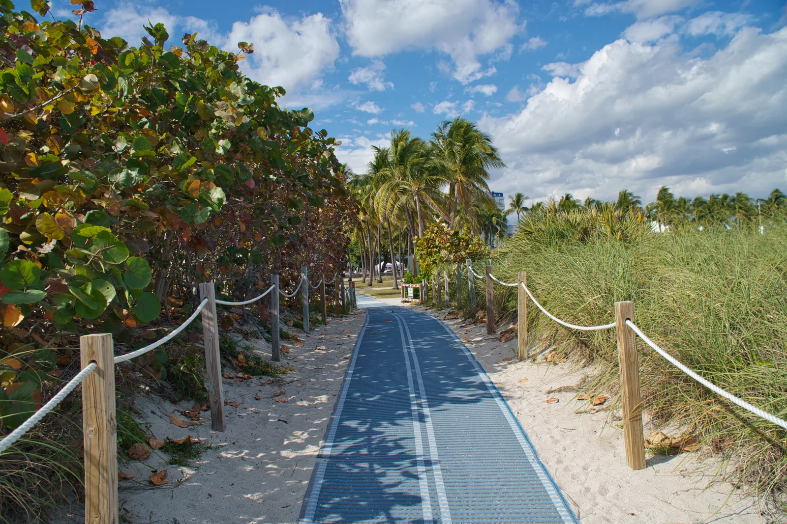
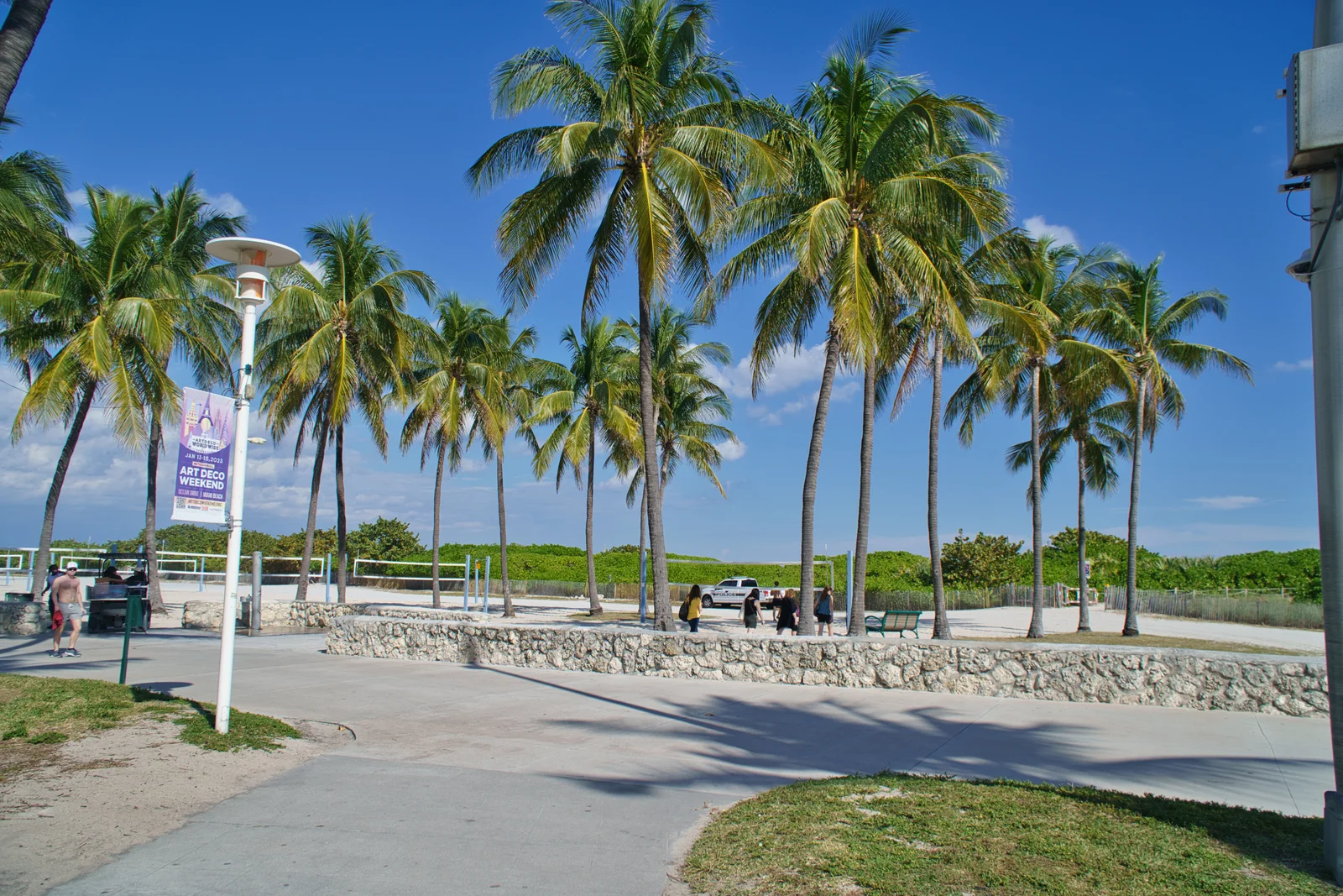
Across the bay, Miami Beach reveals Florida's seaside mood: a broad beach, palms and pastel hotels along Ocean Drive. Geometric Art Deco façades and neon signs give South Beach its distinctive look. Miami is both the beginning and the end of our Florida loop.
Hotels along Ocean Drive in Miami BeachPhoto: Vista Travel archiveBeach access in Miami BeachPhoto: Vista Travel archivePalms beside the beach in Miami BeachPhoto: Vista Travel archive
02 / Florida Keys island chain
Key West & the Florida Keys
An ocean road and an island state of mind
In the Florida Keys, the road itself becomes part of the landscape. The Overseas Highway links the islands with bridges, with shallow turquoise water on either side. Remnants of older crossings stand alongside the modern route, recalling the railway that once reached Key West.
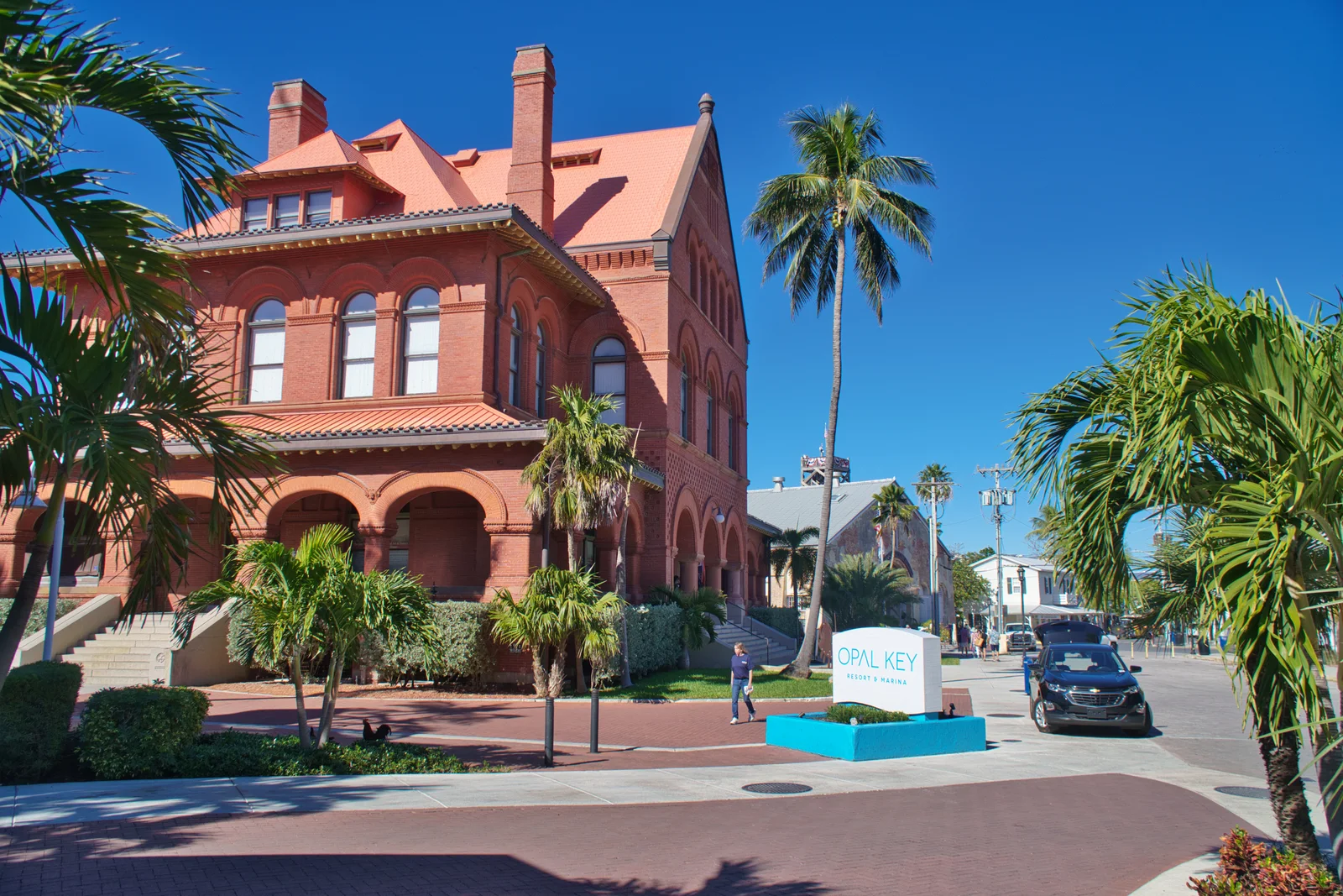
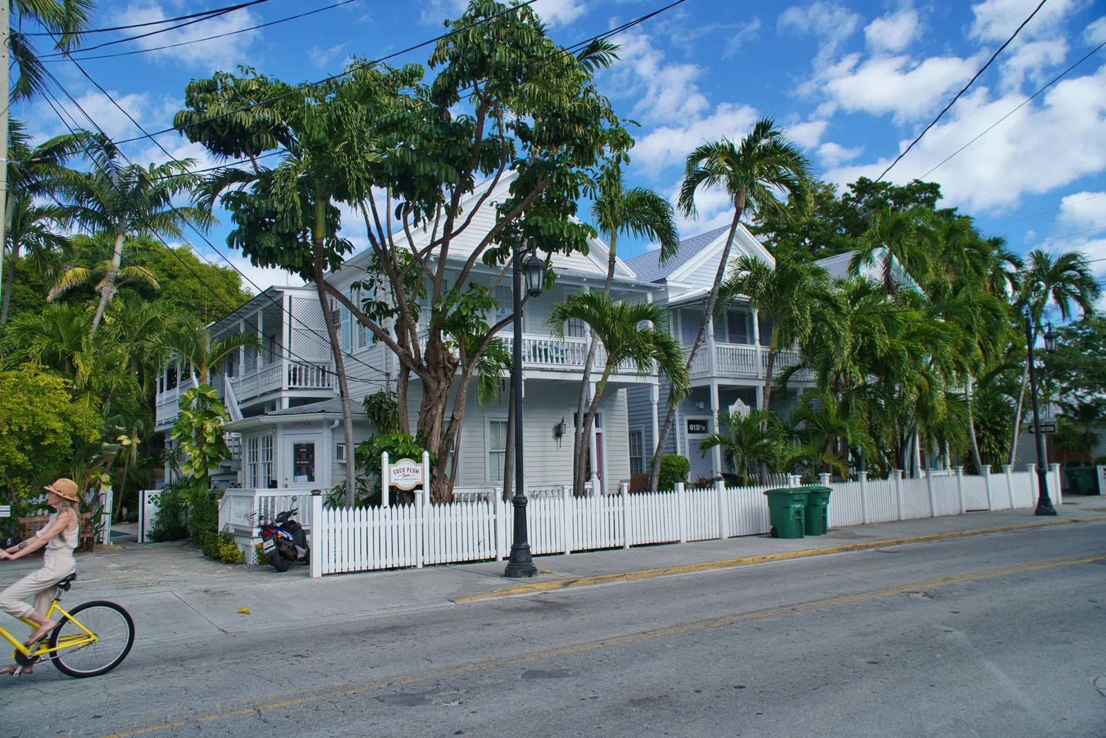
At the end of the road is a town of wooden houses, tropical gardens and easy-going harbour streets. Duval Street is its lively backbone, while Ernest Hemingway's home recalls the island's literary past. Key West is a separate excursion from Miami, returning to the same base.
Brick architecture and palms in Key WestPhoto: Vista Travel archiveWooden houses and tropical greenery in Key WestPhoto: Vista Travel archiveSeven Mile BridgeUnited States Department of Transportation · Wikimedia Commons · Public domain
03 / South Florida • Shark Valley
Everglades National Park
A river of grass, alligators and an airboat ride
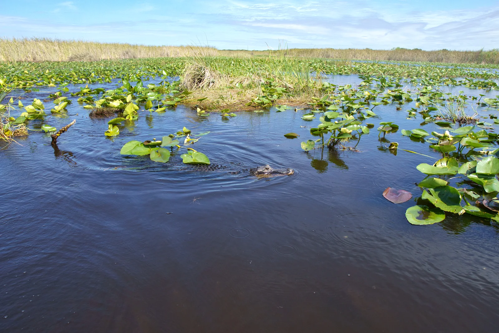
Everglades reveals a Florida far removed from beaches and city lights. Wetlands, grassy expanses and islands of trees form a landscape shaped by shallow water moving slowly across almost level ground. Alongside birds and turtles live the most recognisable residents of this landscape: alligators.
Both American alligators and American crocodiles inhabit the Everglades. Alligators mainly live in fresh water and have darker skin and broad, rounded snouts. Crocodiles have narrower, more pointed snouts and more often inhabit coastal brackish and salt water. On a freshwater wetland outing, an alligator is therefore the more typical sighting; the presence of both species in the park does not mean we will see both on the same boat ride.
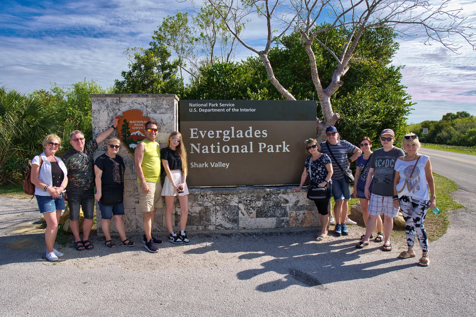
Shark Valley lies in the heart of this freshwater ecosystem. Its observation tower reveals the scale of the landscape, while the route through the wetlands offers opportunities to observe birds and alligators. It is a quieter way to discover the “river of grass”, from the trail and the lookout.
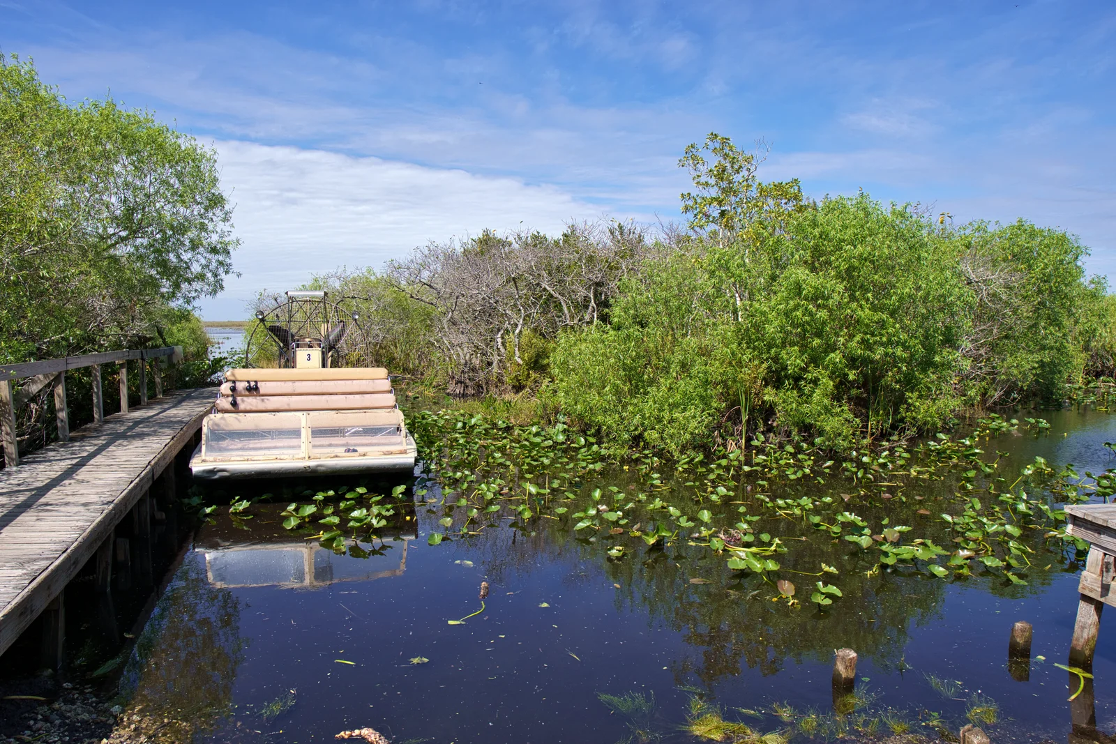
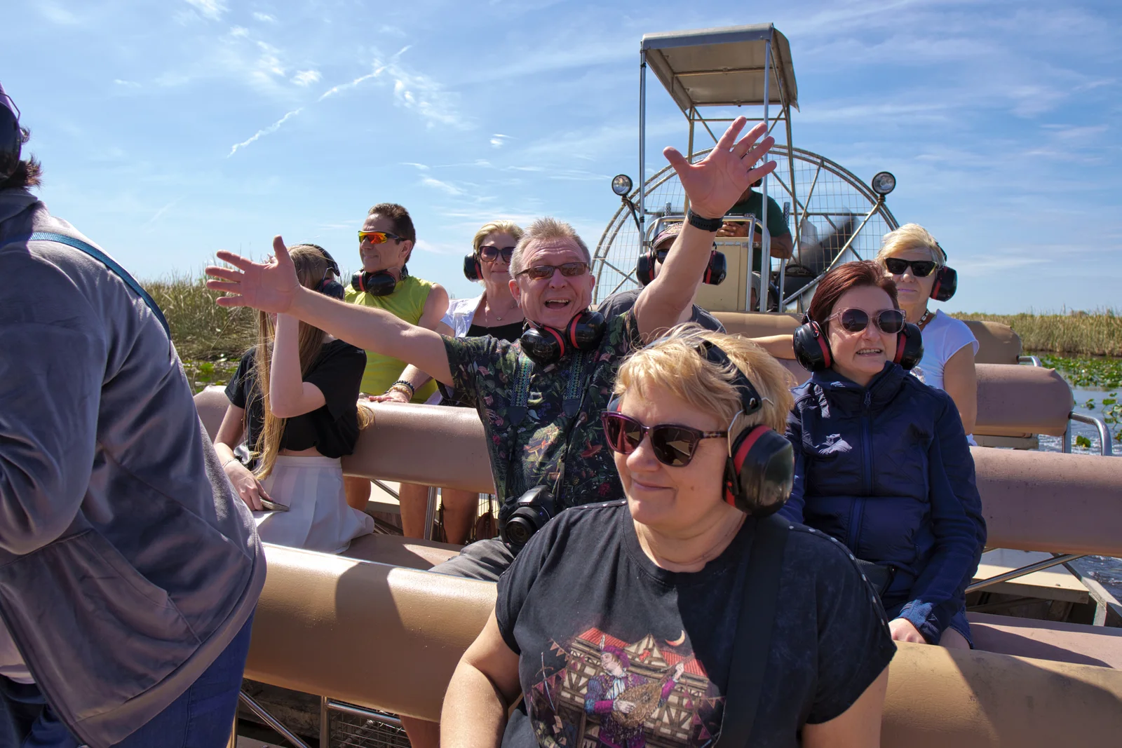
An airboat ride offers another perspective on the wetlands. These flat-bottomed boats are driven by a large propeller mounted at the rear, travelling across shallow water and open stretches among the grasses. A guide helps spot birds and alligators in their natural habitat, although wildlife sightings are never guaranteed.
An airboat ride can be an additional experience during a visit to the Everglades area, separate from exploring Shark Valley. Within the national park, authorised operators run airboat tours in a designated part of East Everglades. The National Park Service lists Coopertown, Everglades Safari Park and Gator Park. The operator and tour arrangements are selected when planning the journey.
South Florida is the only place in the world where the natural ranges of the American alligator and American crocodile overlap.
✦
Alligators excavate depressions known as “alligator holes”. During the dry season, the water retained in them also provides a refuge for fish and other wildlife.
✦
Marjory Stoneman Douglas popularised the name “River of Grass” with her book published in 1947.
An alligator among wetland plants in the EvergladesPhoto: Vista Travel archiveAn airboat at a dock in the Everglades wetlandsPhoto: Vista Travel archiveTour participants aboard an airboatPhoto: Vista Travel archiveA group photograph at the Shark Valley entrance to Everglades National ParkPhoto: Vista Travel archive
04 / West coast • Sarasota area
Siesta Key
White sand and room to slow down
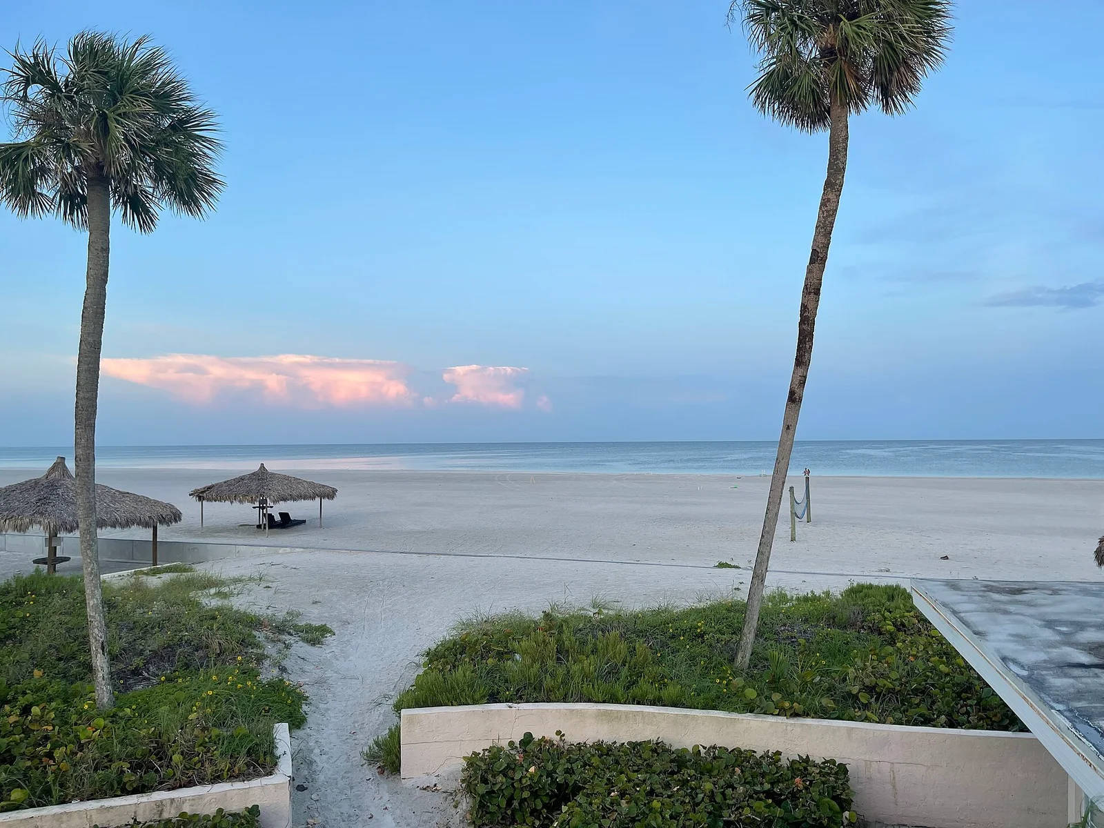
Siesta Key is the beach chapter of this journey. A wide stretch of pale sand, low-rise buildings and an open horizon invite an uncomplicated pause by the water. After Miami's city energy and the Everglades wetlands, both the scenery and the pace change.
The island lies beside Sarasota, and its small centre, Siesta Key Village, brings restaurants and shops close to the beach. Facing west, the shoreline catches the evening light. This is a place to linger by the sea rather than simply photograph another stop.
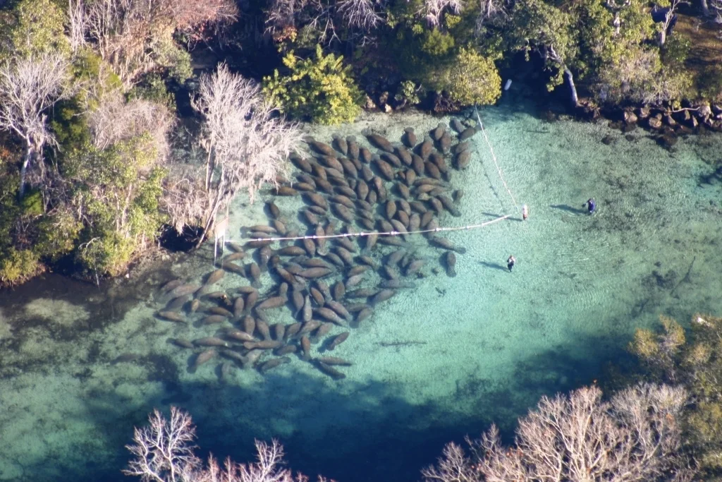
Crystal River offers water with a very different character from the open ocean. Springs feeding Kings Bay create clear pools surrounded by greenery, providing a winter refuge for manatees. These large herbivorous mammals move slowly and regularly surface to breathe.
Three Sisters Springs is one of the area's most distinctive places. From above, pale underwater ground, vegetation and the outlines of animals are visible beneath the surface. Late February and early March fall within manatee season, although their numbers and locations always depend on conditions.
Manatees near the springs in Crystal River National Wildlife RefugeU.S. Fish and Wildlife Service Headquarters · Wikimedia Commons · Public domain
06 / Central Florida
Orlando
Movie magic and a city among lakes
Orlando brings Disney and Universal to mind: places where screen worlds become vast sets and technology brings stories to life. Each park has its own character, from fairy-tale architecture to cinema-inspired attractions and spectacular rides.
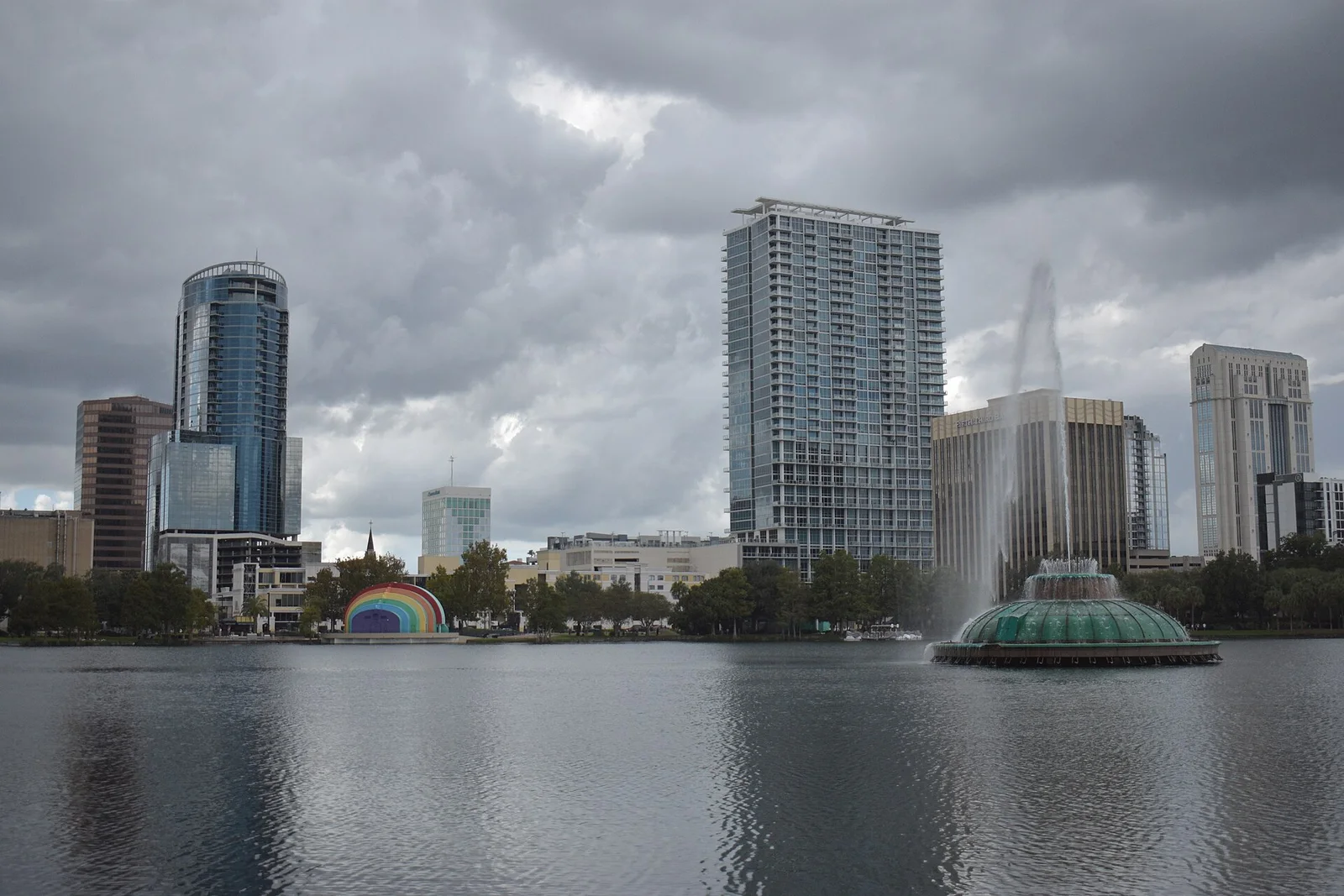
Beyond the parks is another Orlando: lakes, green neighbourhoods and city life around Lake Eola. Nearby Winter Park adds quiet streets, gardens and waterways. This stop brings together entertainment and a less obvious, everyday side of Central Florida.
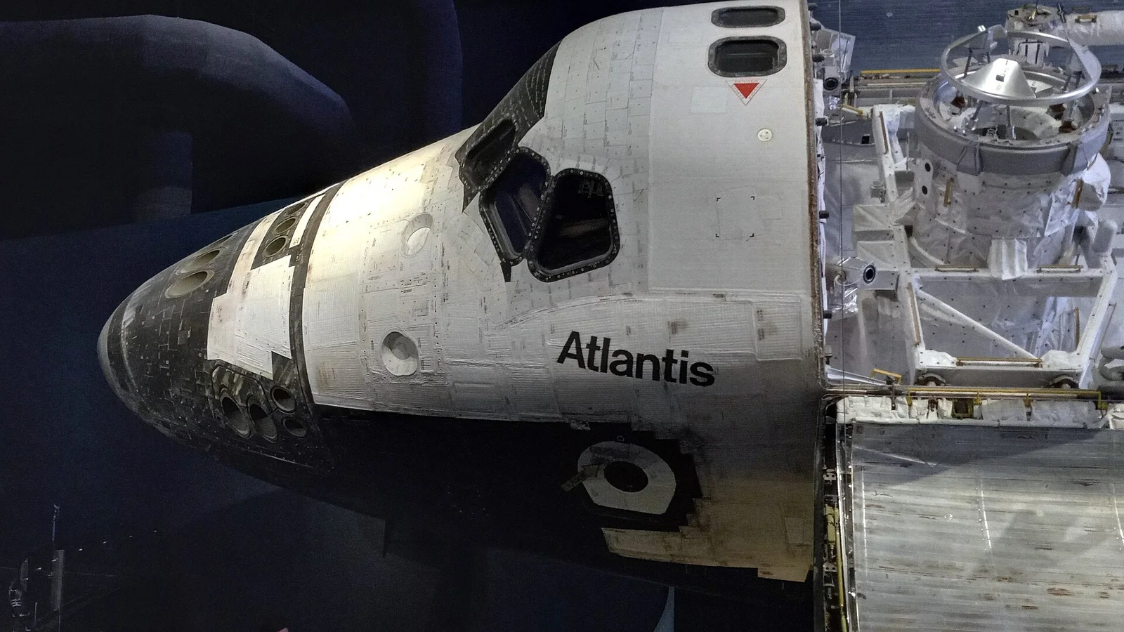
On the Space Coast, spaceflight history has a tangible scale. Huge rockets, launch structures and the Atlantis orbiter reveal the effort required to leave Earth. Kennedy Space Center Visitor Complex connects the Apollo story with the shuttle era and contemporary space exploration.
Cape Canaveral is often used as shorthand for the entire spaceflight region, but Kennedy Space Center itself is on Merritt Island. Ocean, natural habitats and active space infrastructure sit unusually close together here.
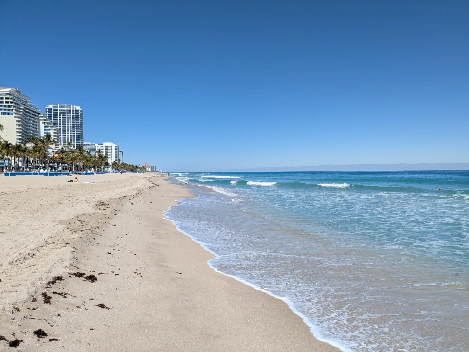
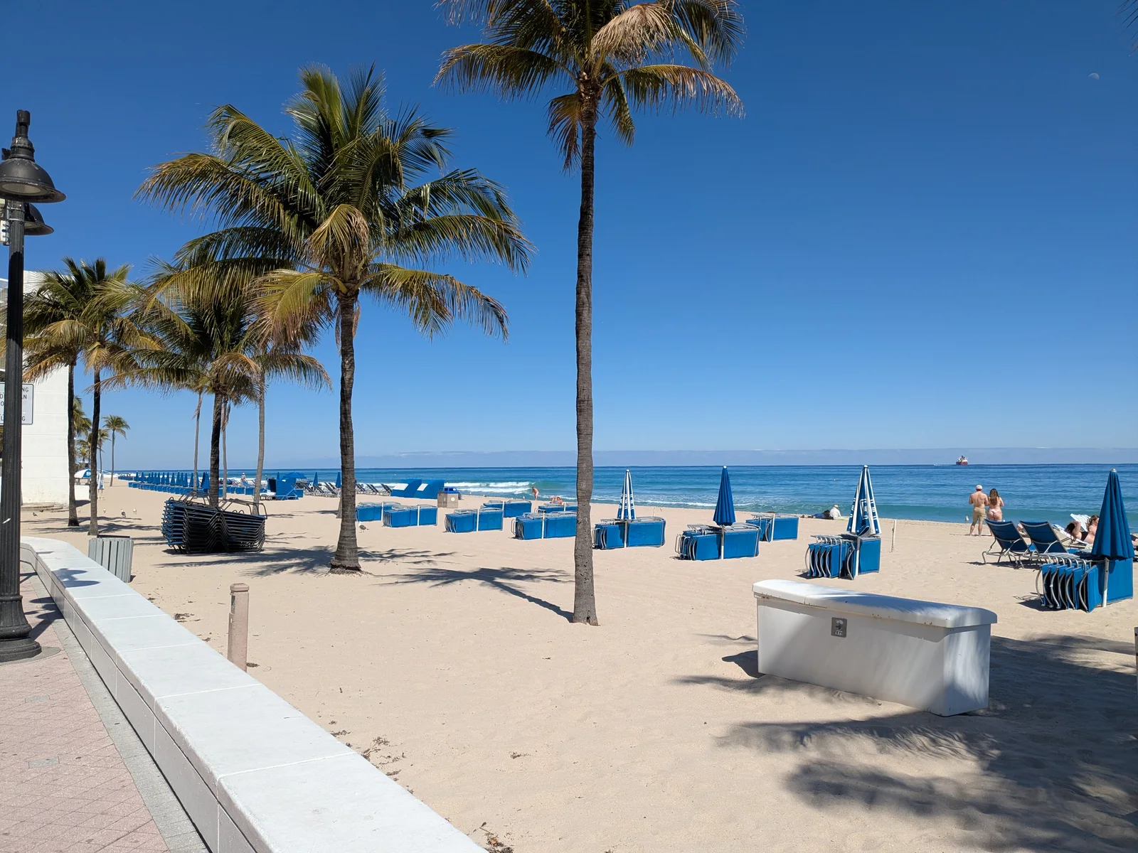
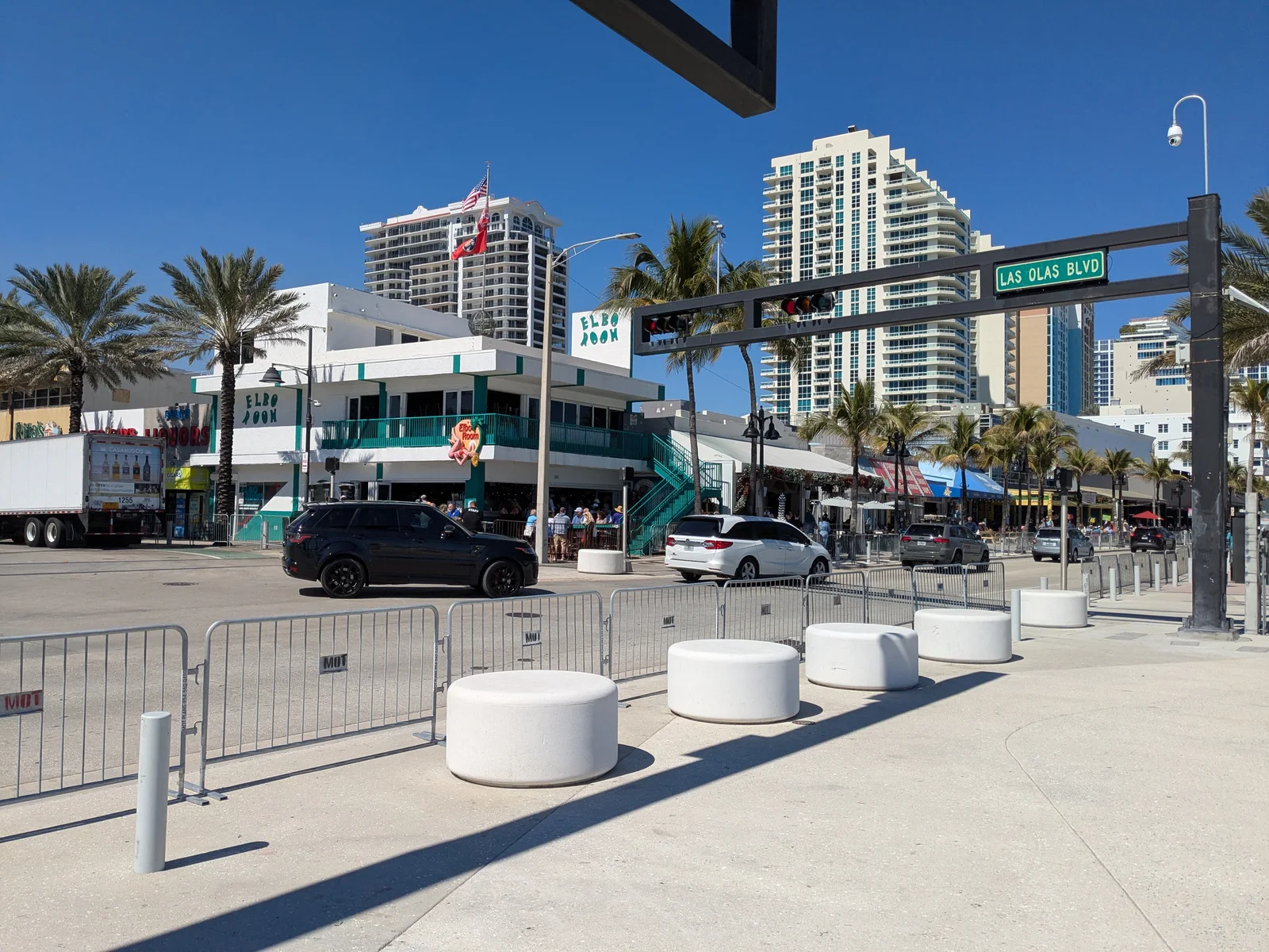
Fort Lauderdale Beach brings together a broad stretch of sand, a beachfront promenade, palm trees and an open Atlantic horizon. A distinctive white wave-shaped wall runs along the shore, while restaurants, cafés and hotels line the other side of the street. This is a beach woven into city life, where the water and an ocean-view table are only a short walk apart.
Behind the beachfront buildings is another side of Fort Lauderdale: canals, marinas and waterfront homes. The Las Olas area connects beach life with an urban atmosphere. This is our final seaside base, including the last overnight stay in Fort Lauderdale. We return to Miami on the day of departure.
The beach and ocean in Fort LauderdalePhoto: Vista Travel archivePalms and beach beside the Fort Lauderdale promenadePhoto: Vista Travel archiveLas Olas Boulevard and Elbo Room surroundings in Fort LauderdalePhoto: Vista Travel archive
Your next journey
Discover Florida with Vista Travel.
Interested in this journey? Get in touch to discuss dates and travel details.
Photographs of Miami Beach, Key West, Everglades and Fort Lauderdale come from the Vista Travel archive. Other destination photographs are credited individually below. Images have been resized and converted to WebP.