Big Badlands Overlook
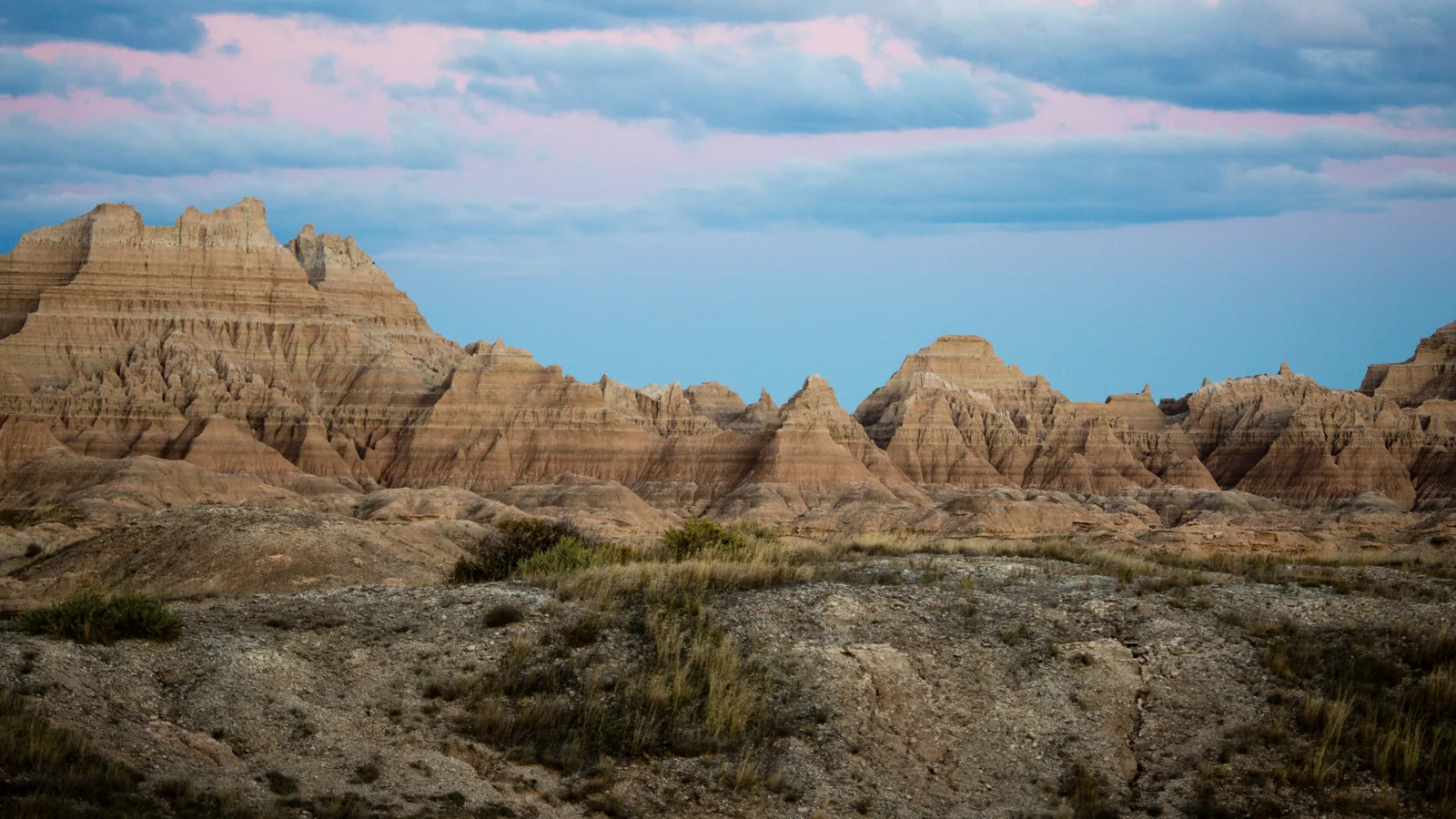
A useful first stop after the northeast entrance. Dawn light brings out the rock layers.

Badlands combines pale layered rocks, sharp ridges and open prairie. Its character comes from the meeting of almost lunar formations and wildlife-rich grasslands. This itinerary covers the North Unit, a useful starting point for a first visit. Allow a full day for a scenic drive with short walks.
Ben Reifel Visitor Center
Weather loads when you open this guide.
Modelled weather for this location; point elevation is approximate. Conditions on trails, summits and elsewhere in the park can differ considerably.
Select a thumbnail for the full view.
The park lies east of Rapid City. From I-90, take exit 131 for Northeast Entrance or exit 110 at Wall for Pinnacles Entrance. The main Badlands Loop Road (SD 240) is paved; allow time for stops rather than just driving through.
This itinerary assumes your own vehicle; do not rely on a park shuttle. Sage Creek Rim Road is gravel and may close after rain or snow. Check it separately before leaving the pavement.
NPS — source ↗US$30 covers a private vehicle and its occupants for 7 days. Entrance stations accept cards, not cash. An eligible valid America the Beautiful pass replaces the standard entrance pass. Badlands does not have the US$100 nonresident surcharge.
Accommodation is reserved separately. The ordinary trails listed here do not require reservations; check NPS alerts and the rules for your activity before travelling.
NPS — source ↗NPS average high/low temperatures: May about 22/8°C, July 33/17°C, September 27/11°C, January 1/−12°C. These are climate averages, not a forecast or limits on possible temperatures.
Summer can bring violent thunderstorms and hail; winter brings snow and freezing weather. Carry water, a sun hat and layers. Check the forecast before walking; ground can become very slippery after rain.
NPS — source ↗Cedar Pass Lodge offers cabins and a restaurant in the park, with Cedar Pass Campground nearby. Sage Creek has more basic facilities and first-come, first-served sites; check access and vehicle restrictions before choosing it.
Wall and Interior provide bases outside the park. Bring food for the day and refuel beforehand. Services may be seasonal, so check hours before relying on a late meal.
NPS — source ↗NPS advises keeping at least 100 ft / about 30 m from wildlife; if animals react to you, you are too close. Do not approach bison or feed prairie dogs. Leave fossils and rocks where you find them.
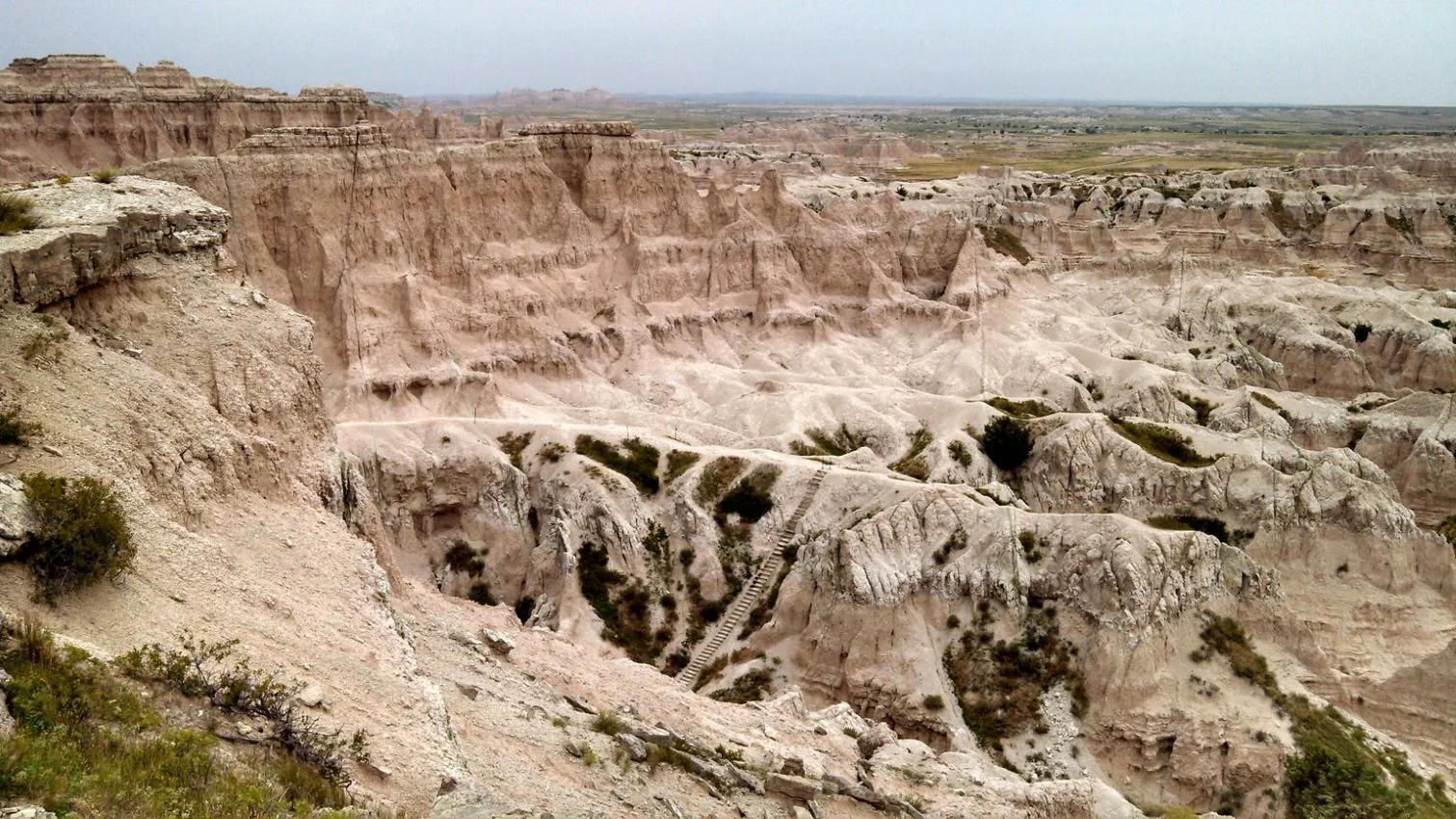
Download a map before arrival. For a first visit, use the described trails: navigating beyond them can be difficult. Notch has a ladder and an exposed ledge, so its short distance does not make it an easy walk for everyone.
NPS — source ↗A useful first stop after the northeast entrance. Dawn light brings out the rock layers.
Choose a walk for your fitness and the weather. Window is short; Notch requires a ladder and a sure footing. You do not need to walk every trail.
Stop for natural-history context and ranger advice. Farther along the road, a short boardwalk features fossil exhibits.
Follow SD 240 with stops at designated overlooks. Leave time for changing light and short walks from parking areas.
Add the gravel road only in suitable conditions and if your rental agreement allows it. Watch wildlife from a distance; sightings are not guaranteed.
Distances apply to the stated starting point and variant. * Time/difficulty marked with an asterisk is a Vista Travel planning estimate for ordinary summer conditions. ¹ NPS gain or elevation change, not necessarily total cumulative ascent. No unconfirmed elevation figure is added.
Starts on a boardwalk; beyond it the ground is uneven with drop-offs. You can turn around at the end of the boardwalk.
NPS — trail details ↗A short boardwalk to a natural window overlooking an eroded canyon.
NPS — trail details ↗A log ladder and exposed ledge. Not recommended with a fear of heights; dangerous during and after heavy rain.
NPS — trail details ↗Full route from Door/Window parking to Fossil Exhibit and back. Little shade; you can walk a shorter section and return.
NPS — trail details ↗An accessible boardwalk with fossil replicas and exhibits about prehistoric animals.
NPS — trail details ↗