Skip to content
Arizona and Utah • sandstone buttes on Navajo land

Monument Valley Navajo Tribal Park

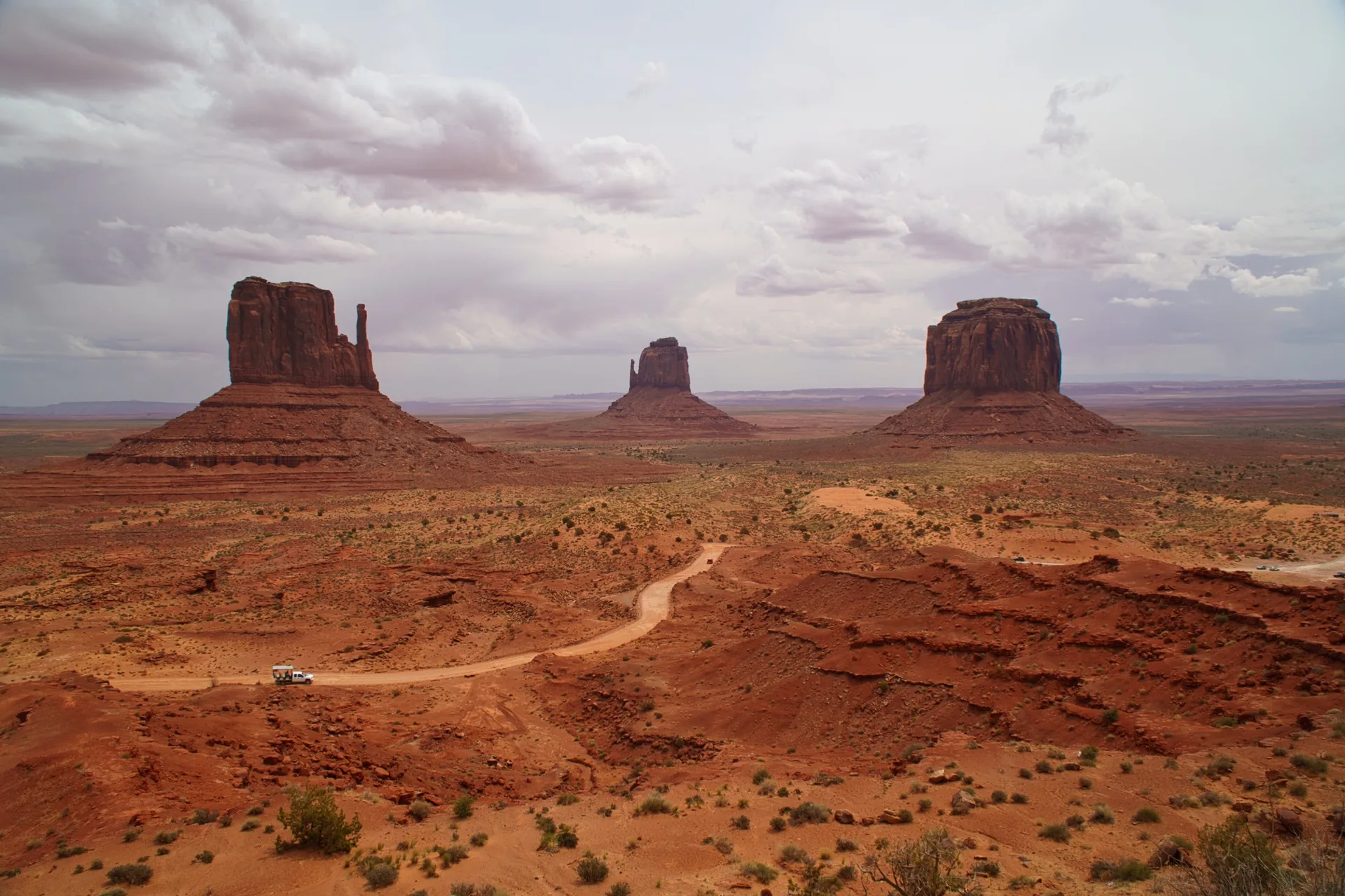
Monument Valley combines isolated red mesas rising from open desert with the living cultural landscape of the Navajo Nation. This is a tribal park with its own entry and visiting rules. Start with the panorama by the visitor center, then plan the valley drive or a guided visit using the conditions below.

Travel here with meChicago & the American West · late May – early June 2027See the route →Ask about the trip →
Monument Valley Navajo Tribal Park
17-mile dirt loop • Navajo Nation

Current weather

Monument Valley Visitor Center

Location on map ↗

Weather loads when you open this guide.

Modelled weather for this location; point elevation is approximate. Conditions on trails, summits and elsewhere in the park can differ considerably.

A look at the park

Select a thumbnail for the full view.

Monument Valley
Monument ValleyVista Travel
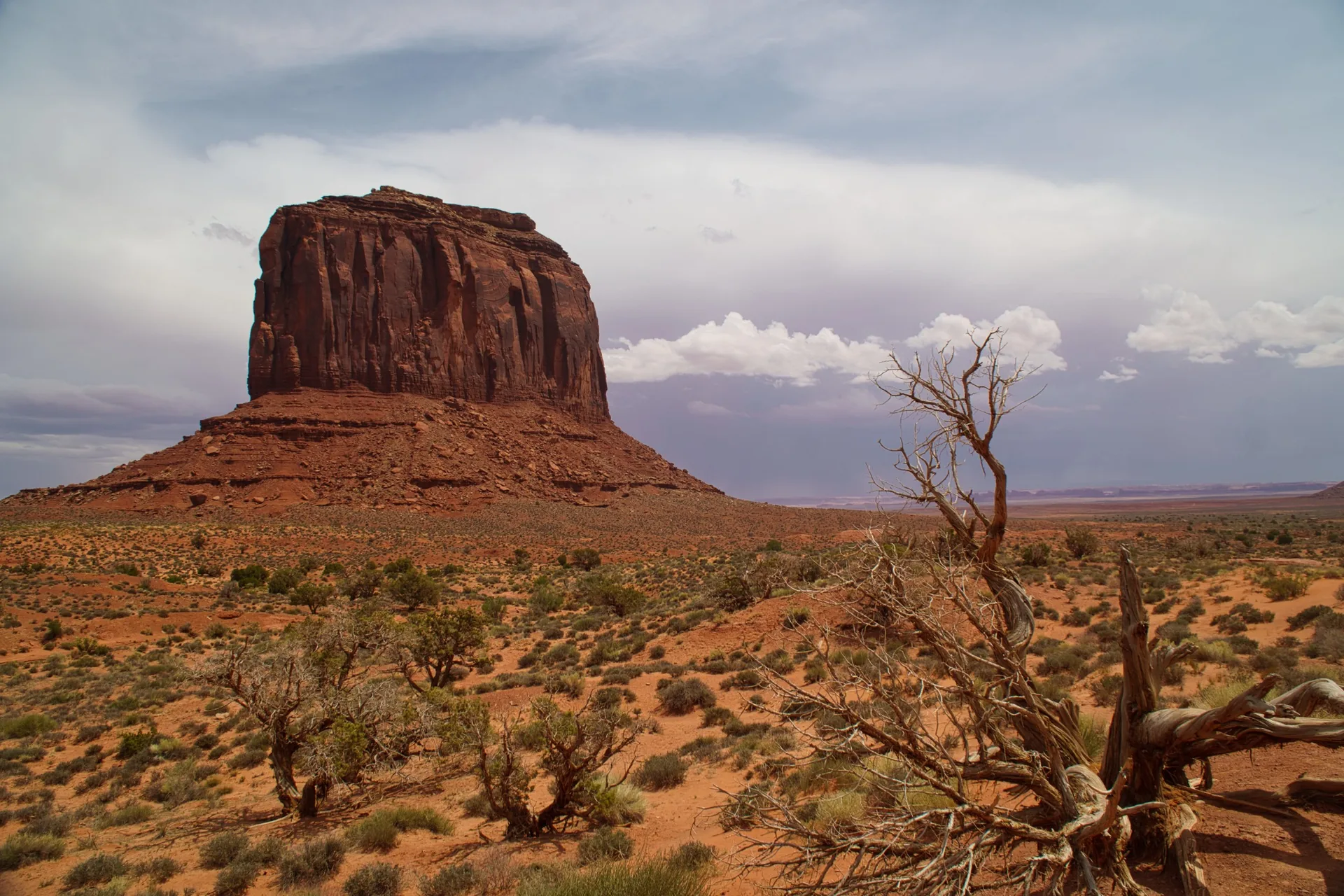
Desert rock formations
Desert rock formationsVista Travel
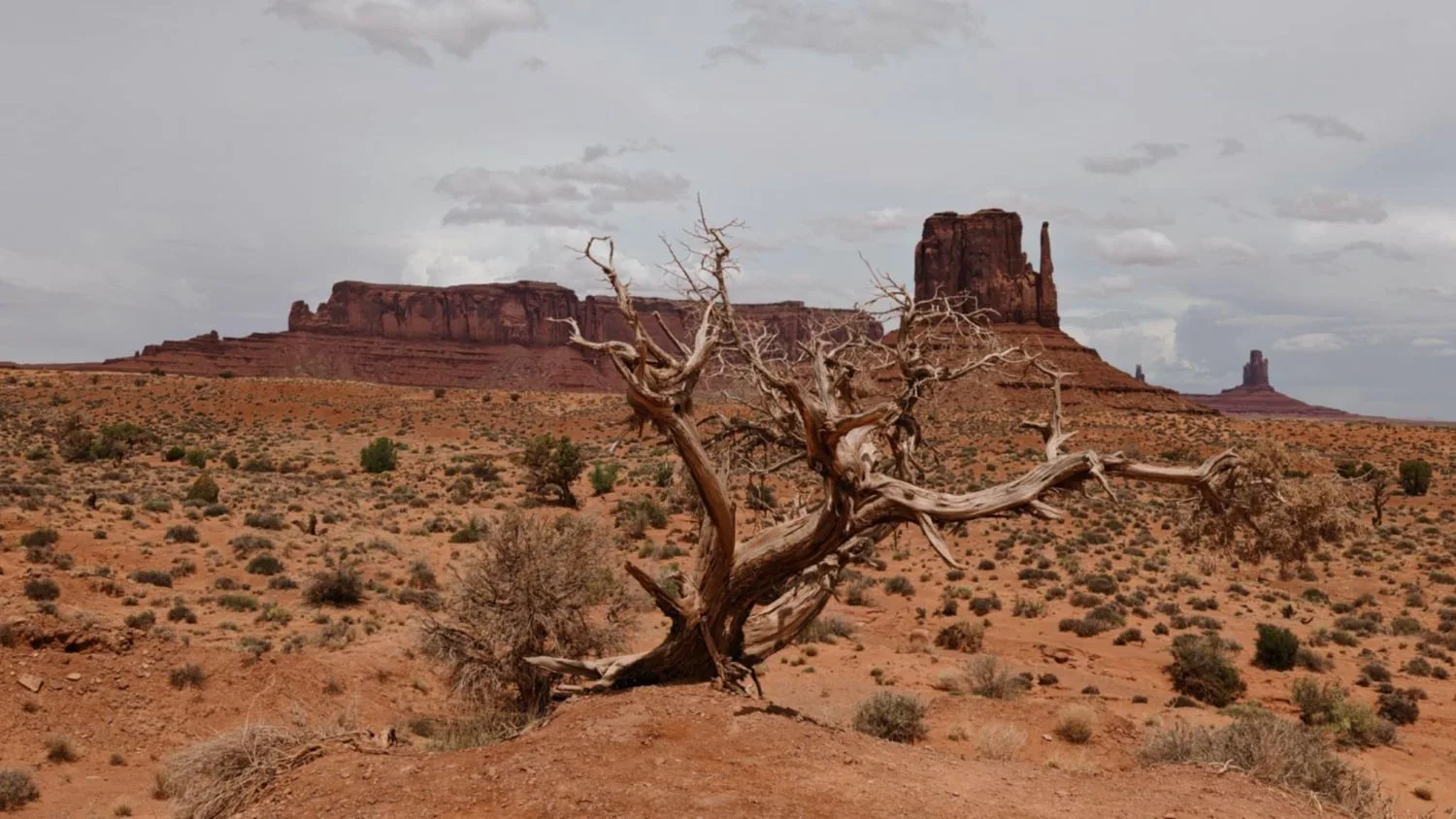
A dead tree against Monument Valley's buttes
A dead tree against Monument Valley's buttesVista Travel
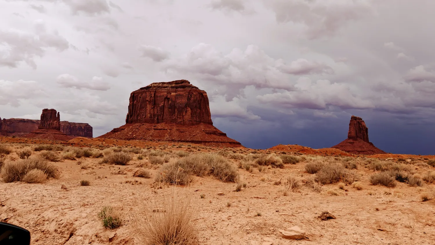
Buttes under a stormy sky
Buttes under a stormy skyVista Travel
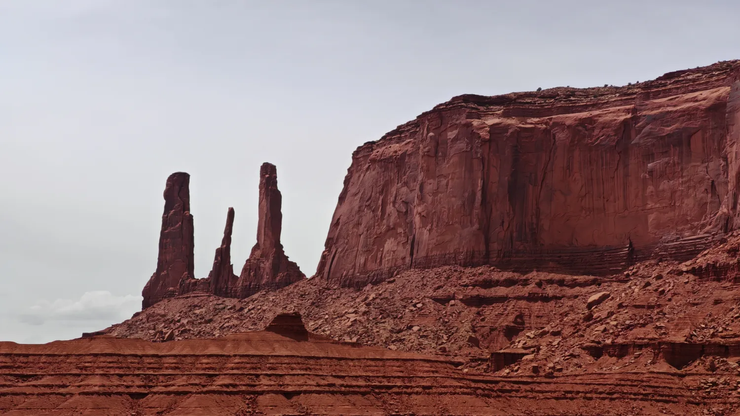
The Three Sisters spires
The Three Sisters spiresVista Travel
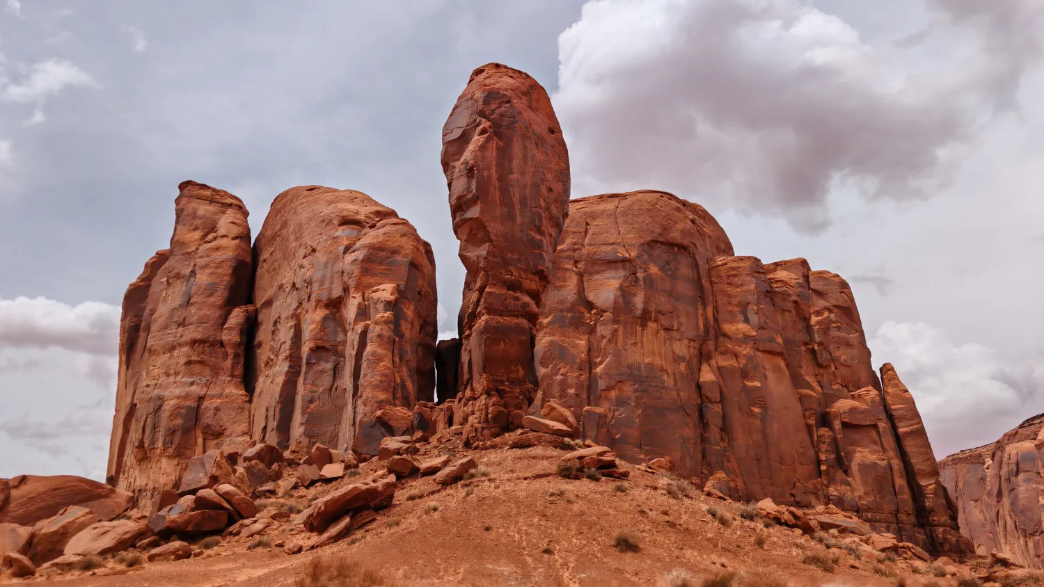
Red sandstone columns
Red sandstone columnsVista Travel
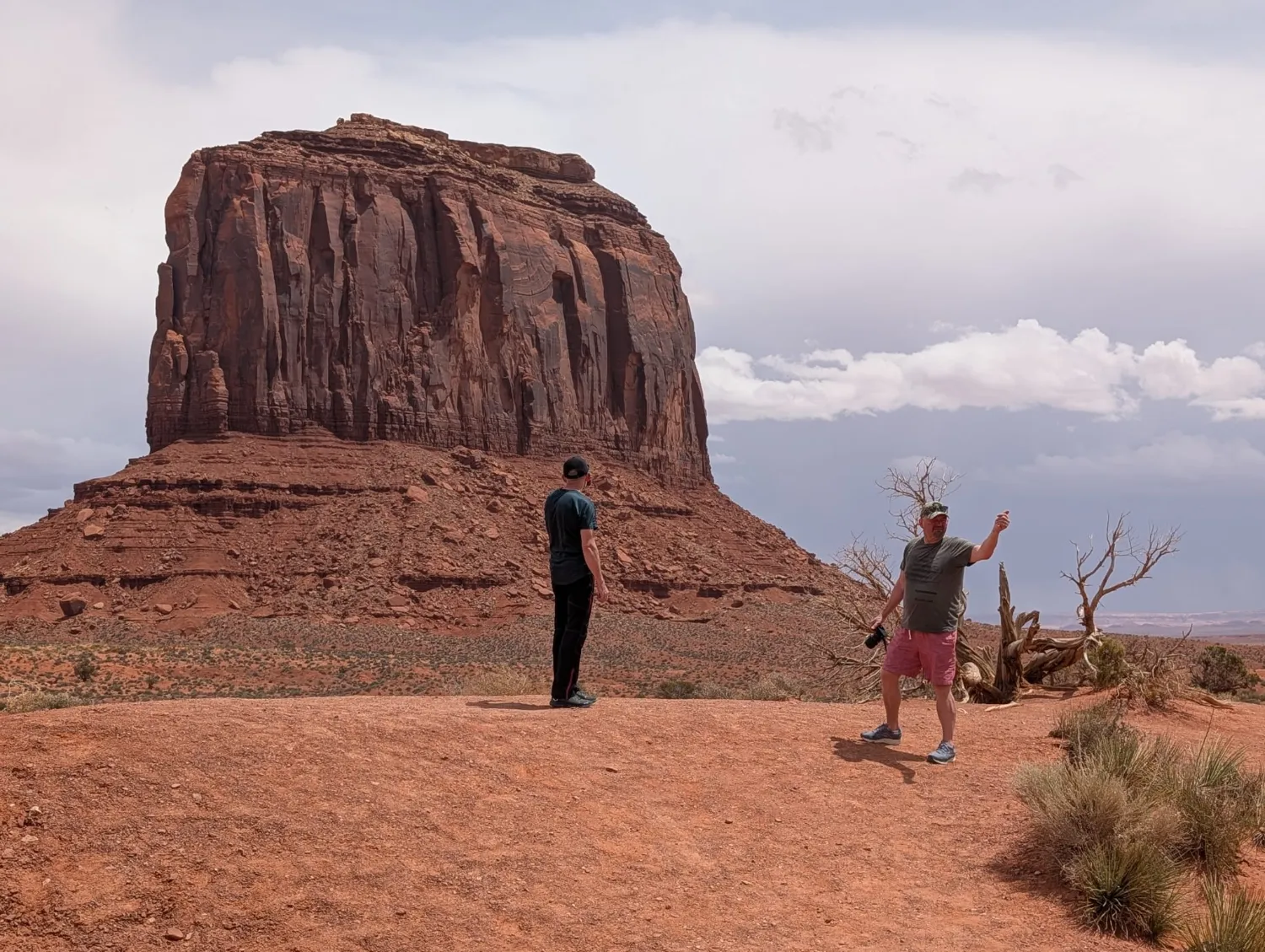
Trip participants beneath one of the buttes
Trip participants beneath one of the buttesPhoto: trip participant
How to visit: the famous 17-mile Valley Drive is unpaved, rough and sandy. Navajo Parks recommends a capable vehicle; an SUV or truck is preferred. Motorcycles and RVs are prohibited on the loop.

From my experience: on my trips we drive Valley Drive ourselves. I recommend a four-wheel-drive vehicle, because the road is sandy and rough in places. Road conditions on the day decide whether we go.
This is a Tribal Park, not NPS: hours, fees, Valley Drive access and rules may change with little notice. Expect entry lines during the May–September peak season.
Valley Drive17 mi / 27 km of natural road with rough terrain and deep sandVehiclesmotorcycles and RVs are prohibited; vehicle damage is your responsibilityCulturestay on designated routes and ask permission before photographing people
60–90 minutesVisitor Center overlook and the full Mittens panorama.
3–4 hoursComplete Valley Drive with stops, if road and vehicle conditions allow.
Half day+A Navajo-guided tour into areas closed to self-guided visitors.
Main points on the self-guided Valley Drive
Visitor Center overlook

East Mitten, West Mitten and Merrick Butte

The signature panorama is available before descending onto the dirt road. If conditions are poor, this overlook still makes a worthwhile visit.

start of the steep descent

Valley Drive — assess conditions

The opening grade quickly reveals ruts and sand. If your vehicle has low clearance or rain has softened the road, choose a locally guided tour.

formations on the first loop segment

Elephant Butte and Three Sisters

Short stops show how each butte changes shape with perspective. Park only in designated pullouts.

classic film viewpoint

John Ford’s Point

A sweeping valley view and one of the American West’s most familiar compositions. Local vendor stands operate nearby.

middle loop

Camel Butte and Rain God Mesa

The road enters deeper among the formations. Do not follow side tracks; some areas are closed or guide-only.

distant view

Totem Pole and Yei Bi Chei

View the slender spires from the designated point. Closer access requires an authorized Navajo guide.

return panorama

Artist’s Point

A broad view back toward the Mittens and Merrick Butte from the opposite side of the valley.

final loop segment

North Window and The Thumb

The last major formations before climbing back to the Visitor Center. Keep a time buffer: last entry is earlier than park closing.

local guide required

Ear of the Wind and side areas

Navajo Parks identifies Ear of the Wind as an example of a landmark accessible only on a guided tour.

Hiking
Wildcat Trail 1.5 mi per Navajo Parks · time varies
Distance1.5 mi per official page Timeabout 1–2 hr* Requirementsign in / sign out Terraindesert

The official webpage currently lists 1.5 mi, while maps describing the complete loop may show a longer distance. Confirm route, distance and return time when signing in at the Visitor Center.

*Vista Travel estimate; the official page lists the distance but no average hiking time.