Skip to content
California • desert, viewpoints and scenic drive

Death Valley National Park

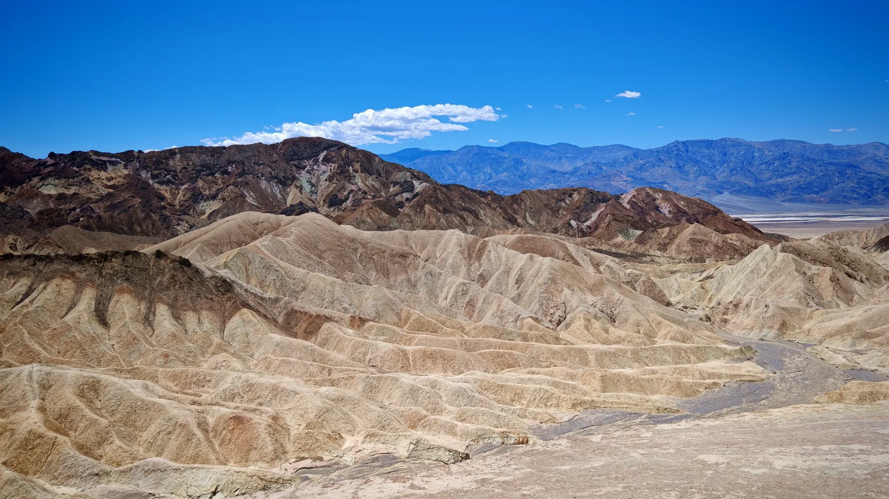
Death Valley brings together salt flats, dunes, colourful hills and high mountain ranges. Contrast the white expanse of Badwater Basin with the panoramas from Zabriskie Point and Dante’s View. Explore by car with unhurried stops, letting the temperature shape your day rather than the number of sights on a checklist.

Travel here with meChicago & the American West · late May – early June 2027See the route →Ask about the trip →
Death Valley National Park
private car • scenic drive • desert
From my journey through California

A drive through Death Valley

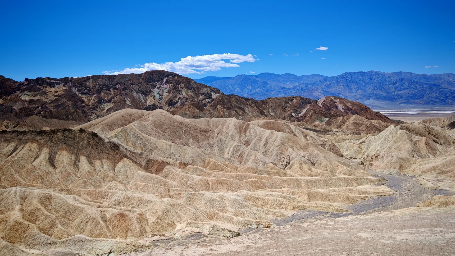
Golden rocks, winding roads and desert to the horizon. Watch a short film from my drive through Death Valley.

Onward, toward Sequoia

From Death Valley to Bakersfield on CA-178

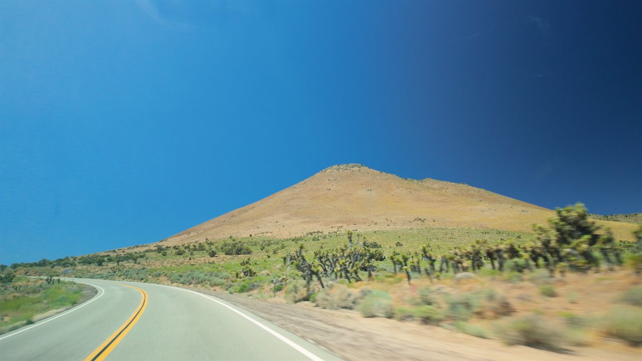
Heading west from Death Valley toward Sequoia, the simplest route runs through Ridgecrest and along CA-178: the Mojave Desert with its Joshua trees, Walker Pass, Lake Isabella and the Kern River canyon. The video shows a stretch of that drive, from the desert to the canyon. The next leg, the approach to the park, is on the Sequoia page.

Current weather

Furnace Creek Visitor Center

Location on map ↗

Weather loads when you open this guide.

Modelled weather for this location; point elevation is approximate. Conditions on trails, summits and elsewhere in the park can differ considerably.

A look at the park

Select a thumbnail for the full view.

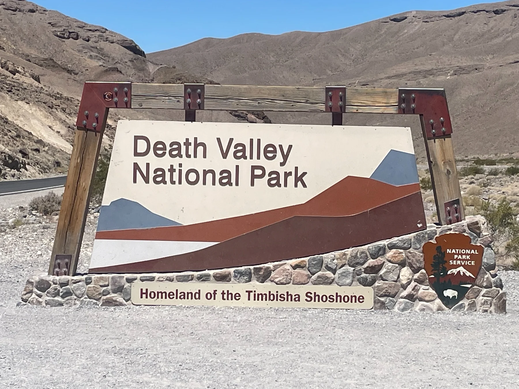
Death Valley entrance
Death Valley entranceVista Travel
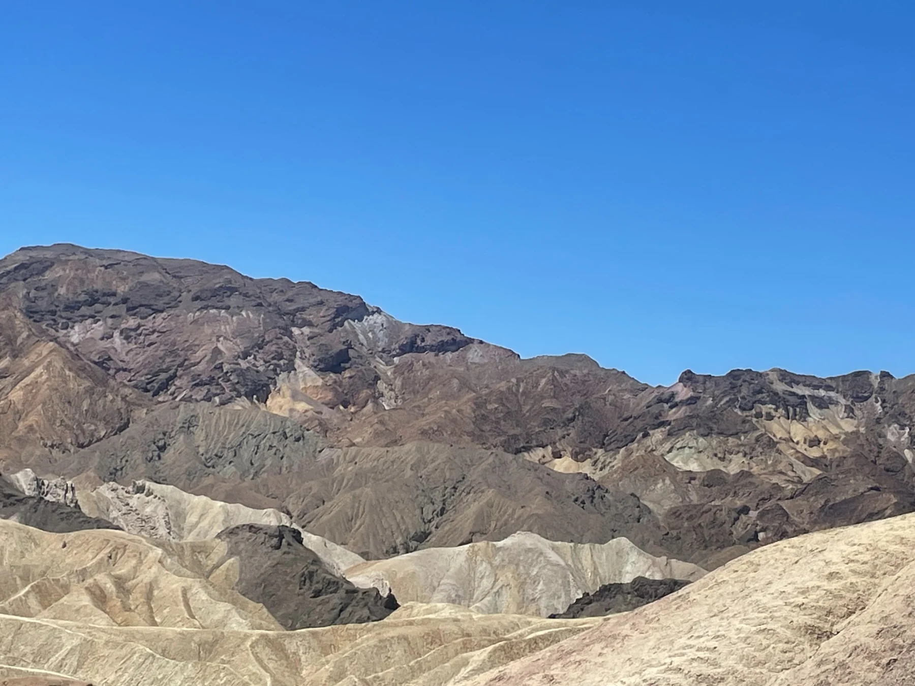
Colourful Death Valley formations
Colourful Death Valley formationsVista Travel
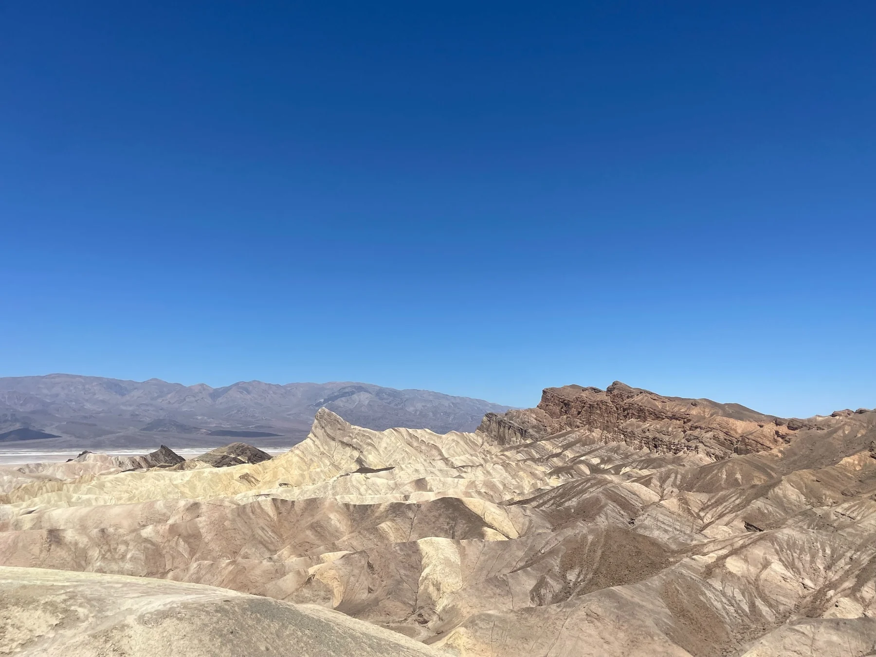
Desert panorama
Desert panoramaVista Travel
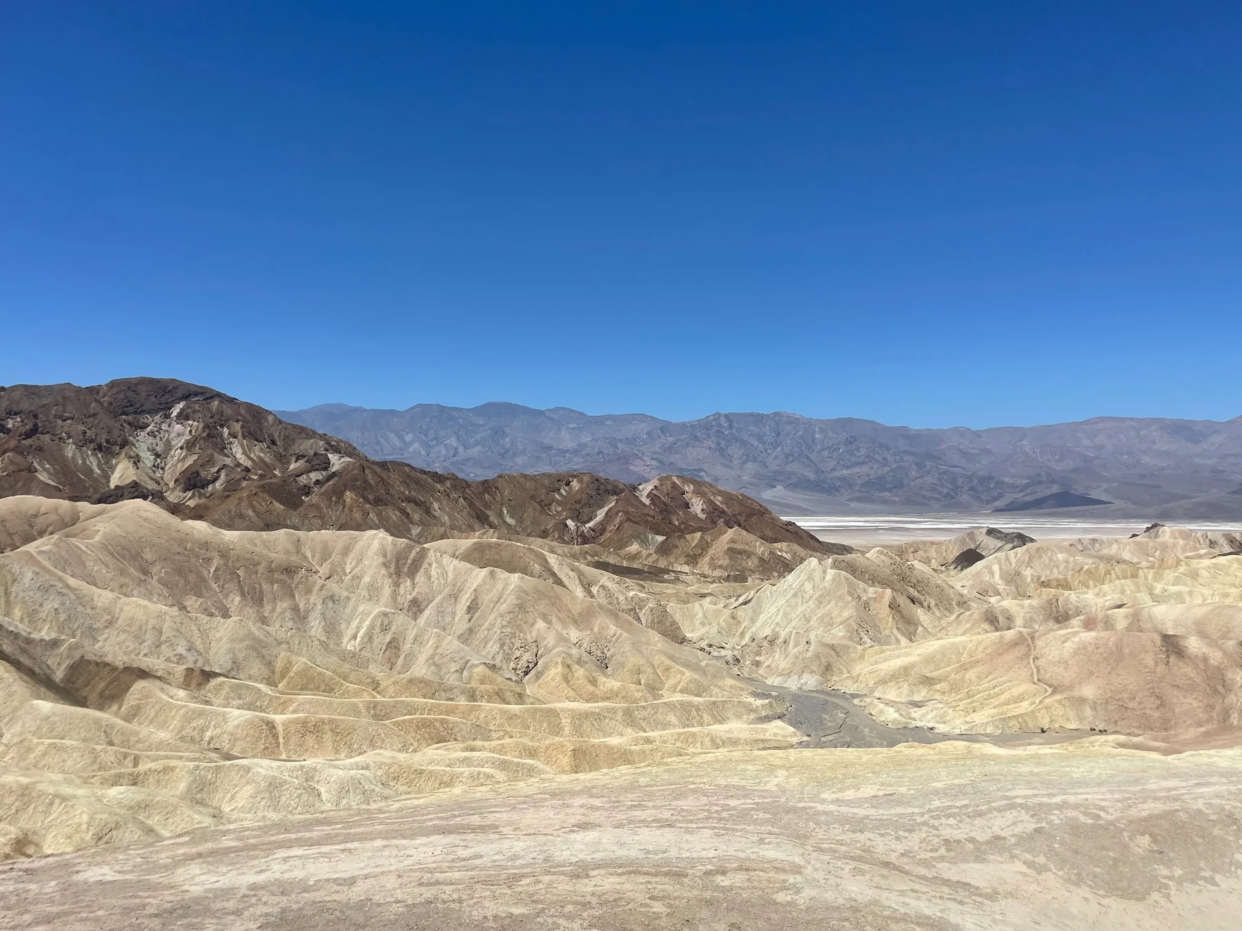
Death Valley landscape
Death Valley landscapeVista Travel
Desert landscape
Desert landscapeVista Travel
Colourful hills
Colourful hillsVista Travel
How to visit: a car is essential here. Distances are large, cell coverage is limited, and even a short walk can be dangerous around midday in summer.
Areaabout 3.4 million acres / 13,800 km² Badwater Basin−282 ft / −86 m Temperature record134°F / 56.7°C at Furnace Creek Historyborax + the famous 20-Mule Teams
Best starteast entrance from Las Vegas, very early in the morningRealistic time6–8 hours with viewpoints; longer with a full hikeTransportcar only; fill the tank first and download an offline map
2–3 hoursZabriskie Point → Furnace Creek → Artist’s Palette → Badwater Basin.
Half dayAdd Dante’s View, Harmony Borax Works and a short Golden Canyon walk.
Full dayFollow the complete sequence below and finish at Mesquite Flat Sand Dunes.
Suggested order from the Las Vegas side
detour before the valley • high viewpoint

Dante’s View

The best place to understand Death Valley’s scale at once. Badwater Basin and the Panamint Range spread below; it can be much cooler here than on the valley floor.

Decision: skip this out-and-back detour if daylight is limited.

short paved walk

Zabriskie Point

The classic view over golden badlands. Light is strongest early and late in the day, and the overlook lies just off CA-190.

information • water • restrooms

Furnace Creek Visitor Center

Check the temperature, road closures and current warnings. Refill water before starting down Badwater Road.

optional hike • 2 mi / 3 km from CA-190

Golden Canyon

Walk only a short canyon segment or complete the longer Gower Gulch loop. In warm weather, begin early.

9 mi / 14.5 km • one-way road

Artist’s Drive and Artist’s Palette

A paved loop through multicolored hills. The entrance and exit are separate points on Badwater Road — never turn against one-way traffic.

short stop • sharp salt crystals

Devil’s Golf Course

A field of jagged salt formations. Stay close to the established viewing area and avoid walking far across the uneven surface.

−282 ft / −86 m • North America’s low point

Badwater Basin

The ramp and boardwalk provide a view without a long walk. The standard walk toward clearer salt polygons is about 1 mi / 1.6 km round trip, but shorten it in heat.

history • easy loop

Harmony Borax Works

A compact interpretive trail explains borax processing and the famous 20-Mule Teams.

Stovepipe Wells • no fixed trail

Mesquite Flat Sand Dunes

Choose your own turnaround. Reaching the tallest dune is about 2 mi / 3.2 km round trip, and deep sand makes progress slower than the mileage suggests.

Optional hikes
Harmony Borax Works Loop 0.4 mi / 0.6 km · 30 min · easy
Distance0.4 mi / 0.6 km Time30 min Difficultyeasy Gain50 ft / 15 m
Golden Canyon — Gower Gulch Loop 4.3 mi / 6.9 km · 2.5 h · moderate
Distance4.3 mi / 6.9 km Time2.5 hr Difficultymoderate Gain850 ft / 259 m
Mesquite Flat Sand Dunes 2.0 mi / 3.2 km · 1.5 h · easy–moderate
Distance2 mi / 3.2 km RT Time1.5 hr Difficultyeasy–moderate Gain185 ft / 65 m
Badwater Salt Flat1.0 mi / 1.6 km RT · flat · only in safe temperatures
Distance1 mi / 1.6 km RTTimepace dependentDifficultytechnically easyGainflat

Walk from the boardwalk toward the clearer salt surface. NPS explicitly advises against this route when it is hot.

Natural Bridge1.0 mi / 1.6 km RT · 45 min · easy
Distance1 mi / 1.6 km RTTime45 minDifficultyeasyGain86 ft / 26 m

A rocky canyon leads beneath a natural bridge. The short access road is unpaved, so check current conditions.

Summer: plan longer walks very early. Death Valley is not one viewpoint — it is an enormous road-trip park.