Beaver Meadows / Fall River
Begin from Estes Park with maps, alerts and the correct timed entry. Decide whether today is for Bear Lake or Trail Ridge Road.

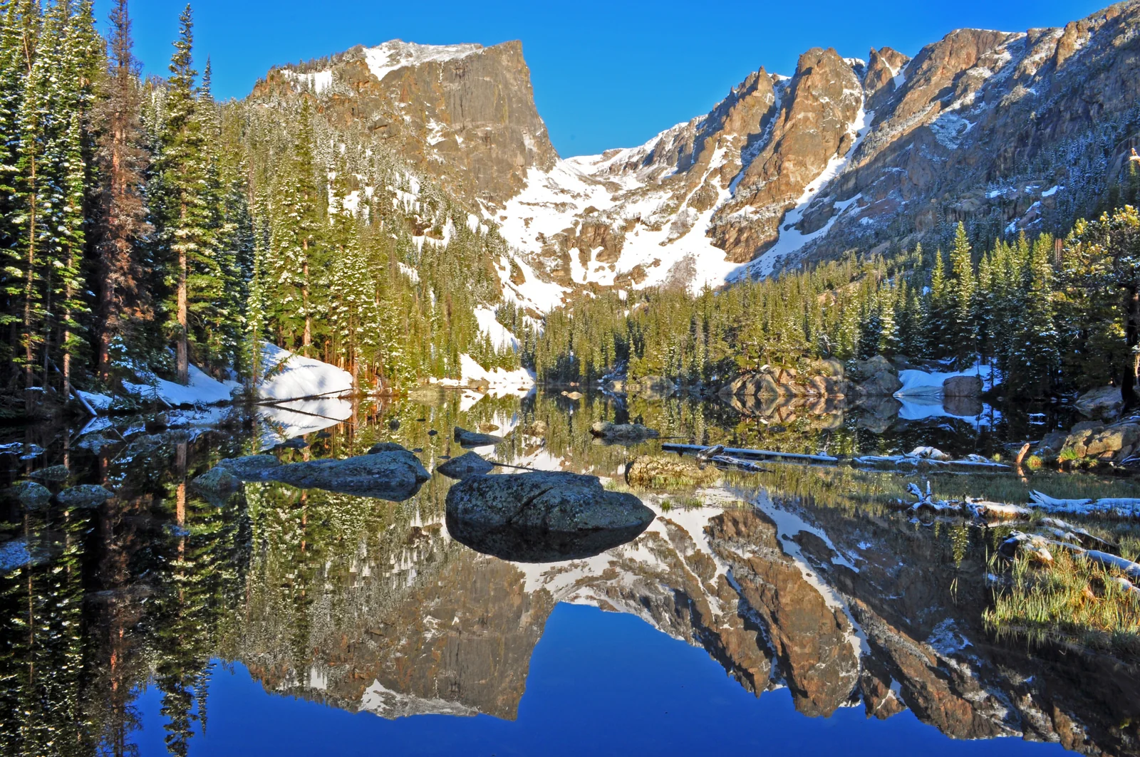
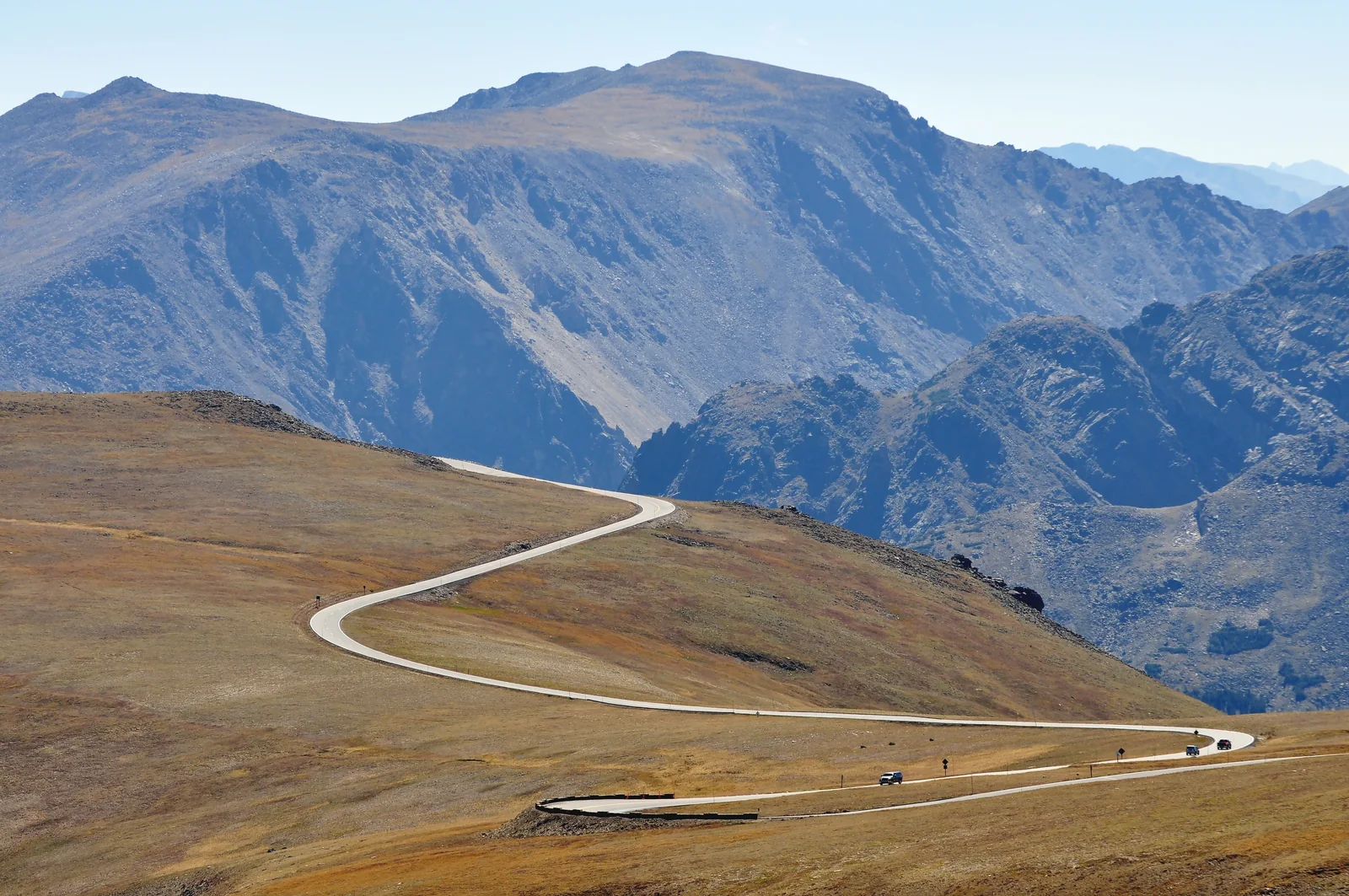
Rocky Mountain reveals Colorado’s high-country scenery: lakes beneath rocky peaks, forests and open tundra above the treeline. Bear Lake is a useful starting point for walks, while Trail Ridge Road offers high-elevation scenery when open. Even a short walk can feel harder here than at lower elevations.
Bear Lake Trailhead
Weather loads when you open this guide.
Modelled weather for this location; point elevation is approximate. Conditions on trails, summits and elsewhere in the park can differ considerably.
View of a meadow near Glacier Basin and the Continental Divide peaks. This location differs from the Bear Lake weather point above.
Check the date and time on the image or operator’s page: an older frame may be displayed. Night views may be dark. Webcam and weather data may refer to different locations.
National Park Service
Select a thumbnail for the full view.
For a first visit I suggest two days: one for Bear Lake and one for the mountain road if open. Take it easier after arriving from low elevation. The numbered points cover several areas, not a single bus route.
Denver is the nearest major airport. Estes Park serves the east side and Grand Lake the west. They are not interchangeable winter bases: Trail Ridge Road is usually closed from about mid-October to late May.
Plan airport transfers separately from travel inside the park. Download an offline map; navigation may suggest seasonally closed roads.
NPS — source ↗Timed Entry: May 22–October 12, 9 am–2 pm; excludes Bear Lake Road. Timed Entry+ Bear Lake: May 22–October 18, 5 am–6 pm; includes the corridor and the rest of the park. Reserve through Recreation.gov for a $2 processing fee, separate from entrance.
Enter within your two-hour window. After leaving Bear Lake Road, reservation-based re-entry is only after 2 pm. An Annual Pass does not replace timed entry. Check official exceptions for holders of other reservations.
NPS — source ↗Private vehicle: $30 for one day or $35 for 7 consecutive days. A $100 surcharge applies per non-U.S. resident aged 16+ unless covered by an eligible valid pass. Do not automatically add it for every gate crossing; follow ticket validity and NPS rules.
Camping, permits and reservation processing charges are separate. A Hiker Shuttle ticket still requires appropriate park admission.
NPS — source ↗Free Bear Lake Shuttle: May 22–October 18, 2026, 6:30 am–7:30 pm, usually every 10–15 minutes. Stops: Park & Ride → Bierstadt Lake → Glacier Gorge → Bear Lake. Use Park & Ride when trailhead lots fill.
Hiker Shuttle from Estes Park requires a ticket for every passenger. It runs daily through September 7, then weekends September 12–October 18; the last return from Park & Ride is at 6 pm. No shuttle crosses Trail Ridge Road or serves the west side.
NPS — source ↗Typical lower-elevation summer days reach about 21–29°C and nights 4–9°C. Higher areas can see snow even in July. Afternoon storms are common; start above-treeline outings early. High trails may stay snowy in spring and autumn snow can close the road. These are climate patterns, not a forecast.
A short trail around 2,900 m can feel harder than a similar lowland walk. Slow down and adapt your destination to how you feel. Check Bear Lake or Trail Ridge forecasts, not only Denver.
NPS — source ↗Look for hotels in Estes Park or Grand Lake; the park has campgrounds but no hotels. Check each campground’s season and booking rules. Wilderness overnight stays require a separate permit. This guide does not report live availability.
Buy groceries and fuel before entering. Bring all food and water for a Bear Lake day; there are no shops or food services there. Save maps, reservations and return schedules offline. Do not depend on finding a taxi after the last shuttle.
NPS — source ↗Begin from Estes Park with maps, alerts and the correct timed entry. Decide whether today is for Bear Lake or Trail Ridge Road.
In the Bear Lake corridor, park at Park & Ride and transfer to the shuttle. Glacier Gorge is the start for Alberta Falls. Check return service before hiking.
The last stop on the Bear Lake route. Choose the short lakeside loop or climb to Dream/Emerald Lake. The lakes share one approach, so do not add their distances together.
An easier scenic option served by the separate Moraine Park route. Do not assume the same frequency as Bear Lake; check the timetable.
A separate drive with no shuttle. Expect tundra views, wind and high altitude. If the road is closed, stay on your side of the park.
The west side is a destination in its own right or the end of a mountain crossing. Allow for the return to your accommodation; a Trail Ridge closure requires a detour outside the park.
Distances apply to the stated starting point and variant. * Time/difficulty marked with an asterisk is a Vista Travel planning estimate for ordinary summer conditions. ¹ NPS gain or elevation change, not necessarily total cumulative ascent. No unconfirmed elevation figure is added.
Start at Bear Lake. A short acclimatization loop; snow and ice change its difficulty. Distance follows the NPS Bear Lake Road Corridor table.
NPS — trail details ↗From Bear Lake via Nymph Lake, returning the same way. NPS lists 1.1 mi one way; the distance here is doubled for the return.
NPS — trail details ↗Start at Bear Lake via Nymph and Dream Lake. NPS: 1.7 mi one way, doubled here for the return. This is the longer version of the same route, not another 5.5 km beyond Dream Lake.
NPS — trail details ↗Start at Glacier Gorge, not Bear Lake. NPS: 0.8 mi one way, doubled for the return. Stay on the trail and away from wet edges at the waterfall.
NPS — trail details ↗